Hiking in Åland
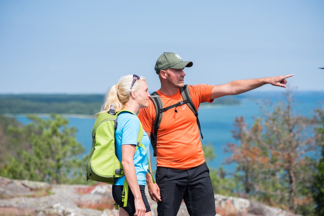
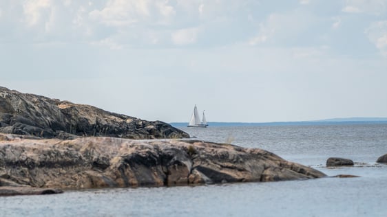
Hiking in Åland offers a varied landscape where your surroundings change rapidly from uninhabited forest to ancient monuments and cultural buildings to sea views. Hike on a long-distance path or take a short walk. Choose the route that suits best for your interests and condition – according to the length, geographic location and the description of the train and nature.
Hiking and nature trails
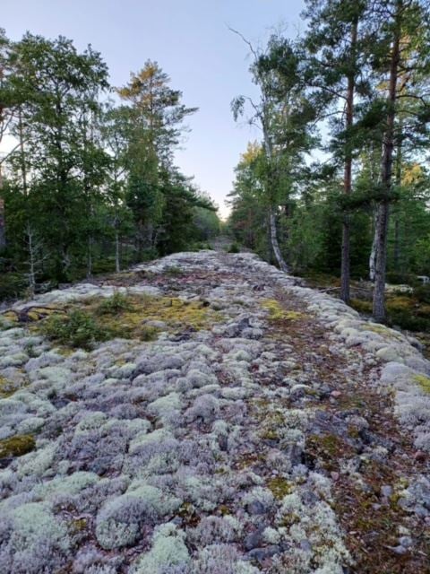
The hiking trails in Åland are 10 to 80 kilometres long. For the most part they are easy, but the paths may be uneven in parts and the bedrock can be slippery. A map and Åland Natur – a starter book on hiking in the countryside – are useful items to have with you.
St Olav Waterway is the first pilgrim’s route in the world that runs through an archipelago. The route starts from the Turku Cathedral on the Finnish mainland and goes through the Åland Islands to Sweden, where there are several alternative routes, such as Viking Trail, Helgonleden and Stråsjöleden, to choose from to reach St. Olavsleden and the final destination at the Atlantic coast in Trondheim, Norway. Find out more about St Olav Waterway.
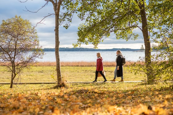
The nature trails are between one and 13 kilometres long and vary from easy to being of medium difficulty. No special equipment is required, but sometimes the ground can be wet, so boots or good outdoor shoes are recommended. Many of the nature trails are in the nature reserves.
The digital maps provide information about the route and service along the trails.
Boxö Batteri & Grotta 7 km – Island trail in historical footsteps
The coastal battery on Boxö was the largest Russian fortification construction in Åland during the WW1. The Boxö artillery battery…
Kalen 7 km – Bronze Age and war ruins
Kalen offers magnificent archipelago nature and historical memories. The area was the part of Kökar that first rose from the…
Jyddö 5 km – sea fowl and butterflies
The landscape is varied with open areas as well as hazel groves, mowed meadows and deciduous forests. The terrain is…
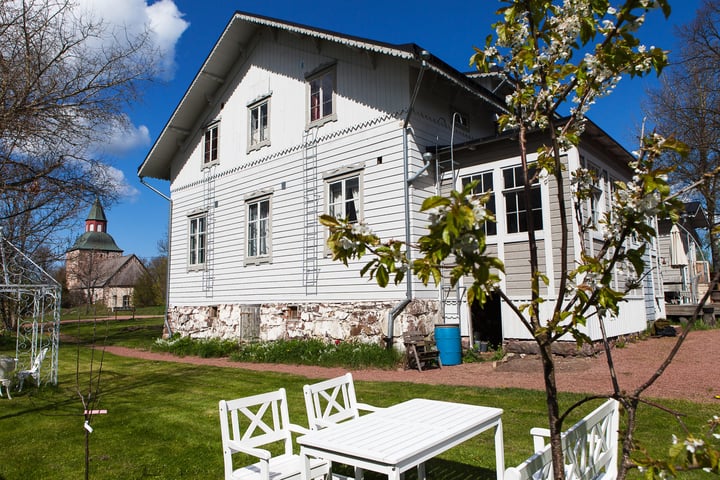
Eckerö walk
Walk 1, Storby, 4 km Start at the Fish Smokinghouse on Gamla Käringsundsvägen, walk past the Hunting & Fishing Museum.…
Kungsö batteriberg 3−6 km − Russian costal battery with seaview
On Kungsö battery hill there is a 2 km long paved Russian military road and a barracks area of a…
Hastersboda 4 km – seashores and magical coniferous forests
The archipelago people derived their living from the sea and in harmony with nature. Information boards along the trail depict…
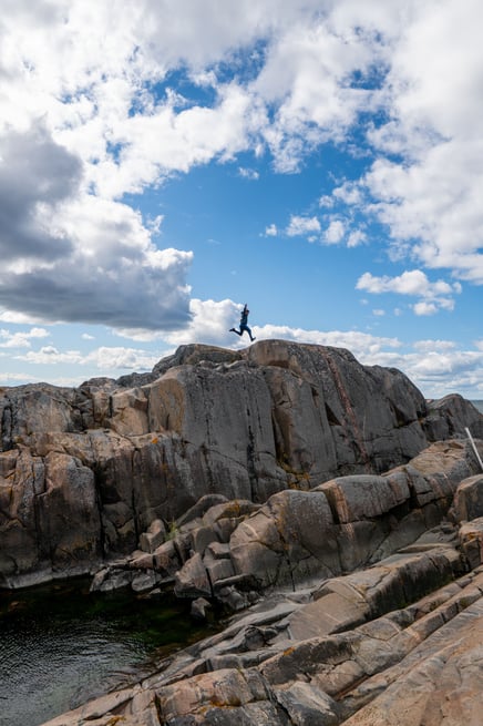
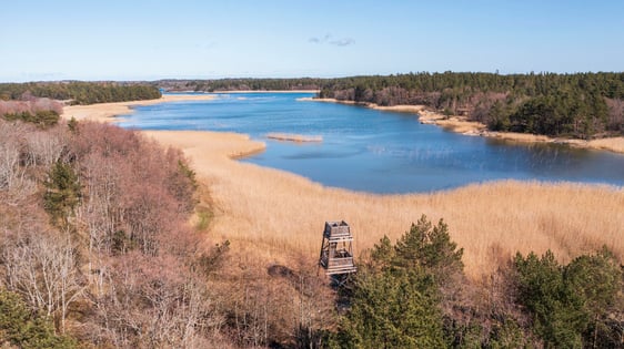
Stangnäs–Sandvik 8 km – giant’s kettle and rocky seashores
The trail runs in barren archipelago nature with heather and juniper growing in the crevices. Along the trail there are…

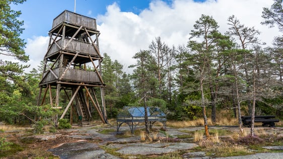
Kasberget 5 km – Lookout place on Åland’s second highest point
Length: 5 km Location: Saltvik Terrain: Rocky, slightly steep path leading to the peak Signposts: White ribbons around trees
Nåtö 2−3,3 km − wooded meadows with stunning wildflowers
Nåtö is a wooded meadow and one of Åland’s most diverse and richest type of habitat. Wooded meadows were common…